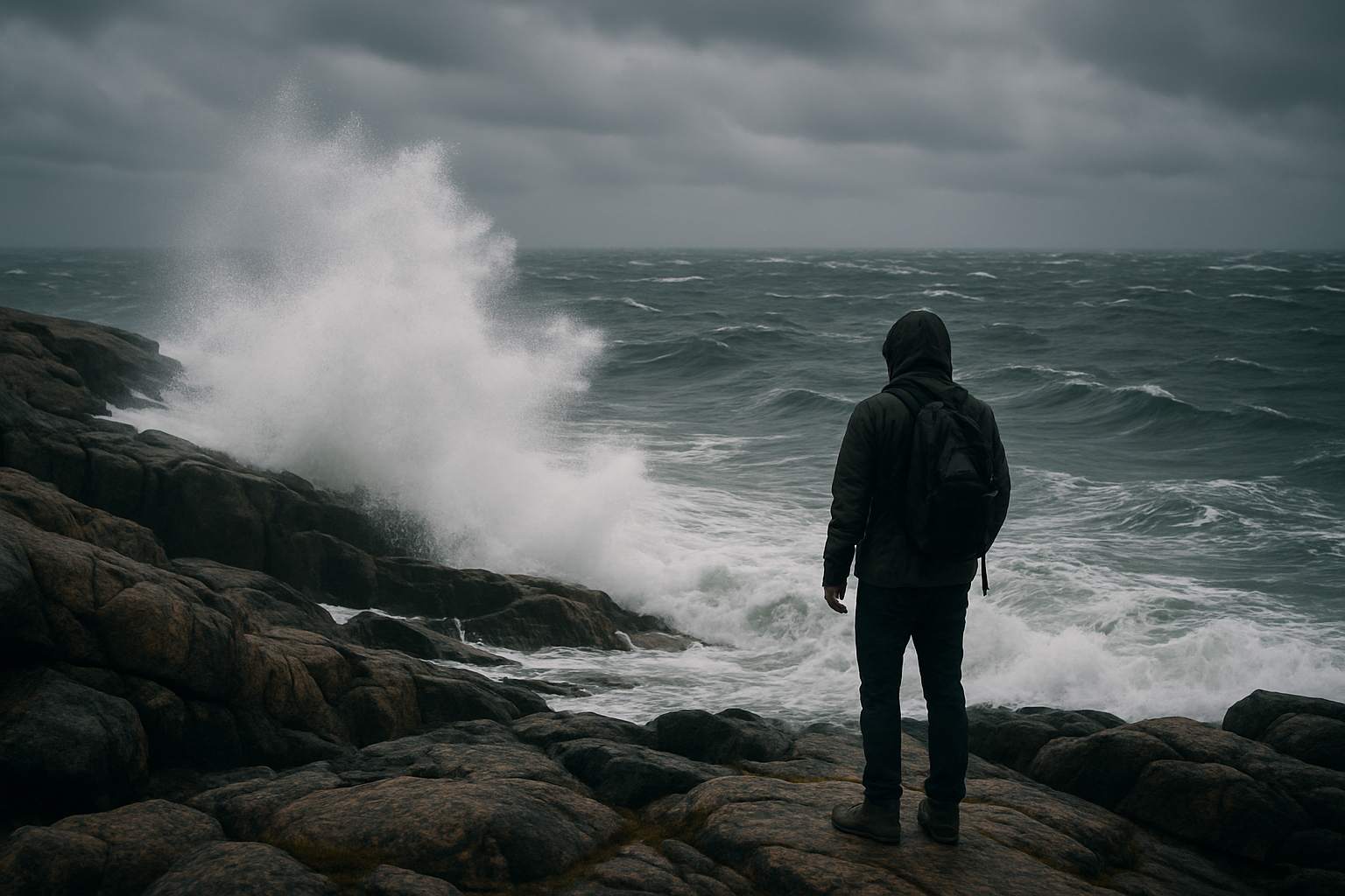
West Coast Vancouver Island
Marine weather: wind, swell, and fog
Tide tells you where the water will be. Marine weather tells you how rough it will be when it gets there — and it changes faster than most visitors expect.
- Key metrics
- Wind, swell height, swell period
- Official source
- Environment Canada marine forecasts
- Common hazard
- Fog reducing visibility
- Check frequency
- Before every beach or water outing
What actually matters
Swell period matters as much as swell height
A 2-metre swell at a 16-second period arrives as long, powerful, spaced-out waves; the same 2 metres at an 8-second period is choppier and less predictable — both numbers matter, not just the height. Wind direction and strength shift quickly on this coast and affect everything from surf quality to how comfortable an exposed headland walk will be.
Environment Canada's marine forecasts for this area are the official reference; local surf and tour operators' own condition reports are a useful real-world cross-check but not a substitute. Fog is its own hazard, particularly for boat excursions — reputable operators cancel or delay trips rather than run in poor visibility.
Keep exploring
Related field guides
Surfing this coast
How swell and wind translate into actual surf conditions.
Read the surf guide
Reading tides
The other half of the planning picture.
Read the tides guide
Storm-watching season
When marine weather becomes the whole point of the trip.
Read the storm guide