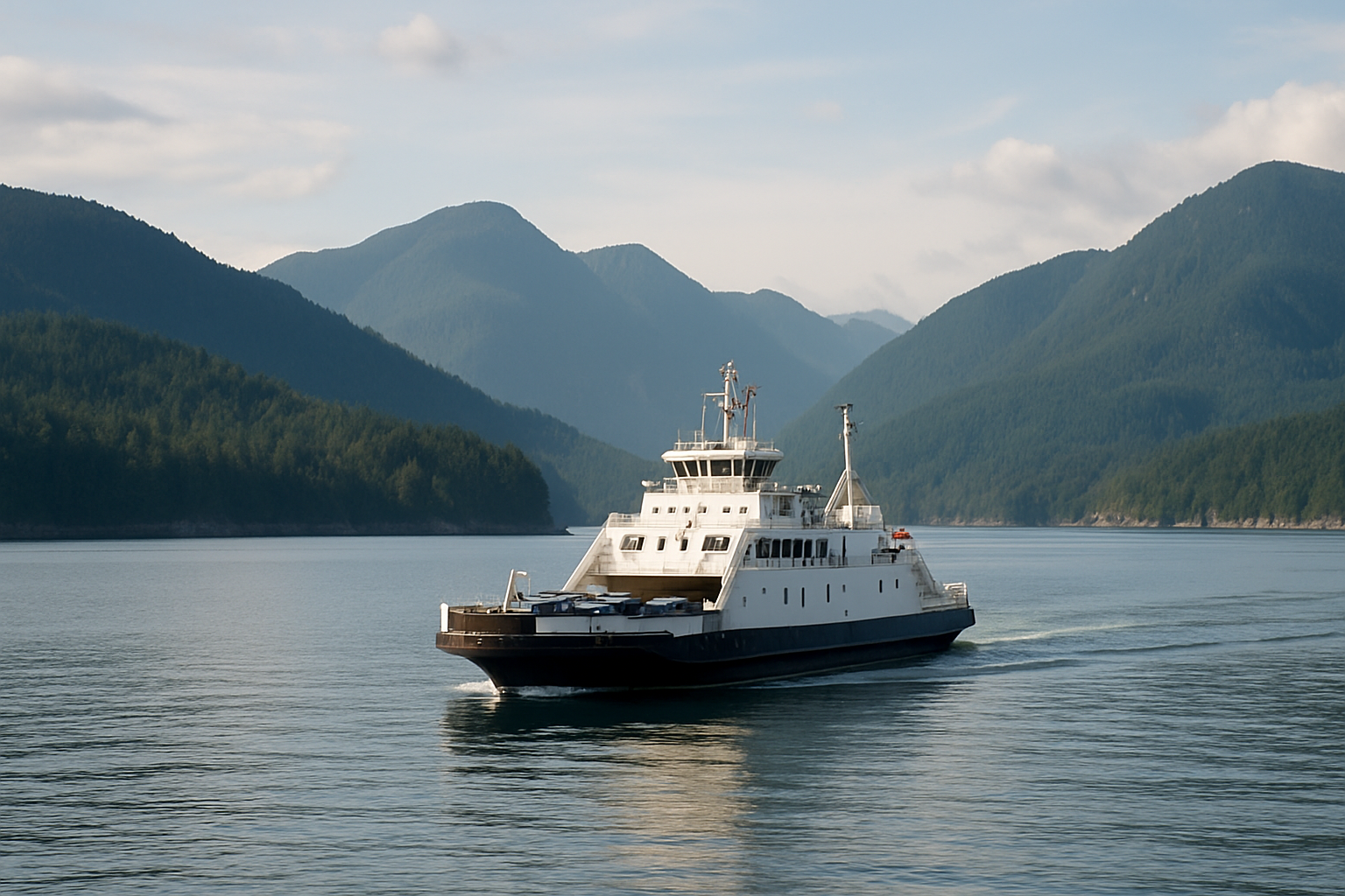
Route from Vancouver, BC
Getting there: ferry, then Highway 4
There's no shortcut across the island — every route from Vancouver combines a BC Ferries crossing with a two-lane mountain highway. Here's what the whole trip actually takes.
- Total time
- 5–6 hrs from Vancouver
- Ferry crossing
- ~1.5 hrs, Horseshoe Bay–Nanaimo
- Highway 4
- 156 km, two-lane
- Last fuel stop
- Port Alberni
The three real stages
Ferry, Highway 19, then Highway 4
From Vancouver, a BC Ferries crossing to Nanaimo (Horseshoe Bay–Departure Bay, or Tsawwassen–Duke Point) takes about 1.5 hours and should be booked ahead in summer. From Nanaimo, Highway 19 north covers about 43 km to the Highway 4 exit near Parksville — the last stretch of divided highway you'll see.
Highway 4 west is a 156 km two-lane mountain road through Port Alberni to the Ucluelet/Tofino junction, adding real time even without traffic. Port Alberni is the last reliable fuel and full-service stop; services thin out noticeably past it, and winter daylight can run out well before dinner.
Keep exploring
Related field guides
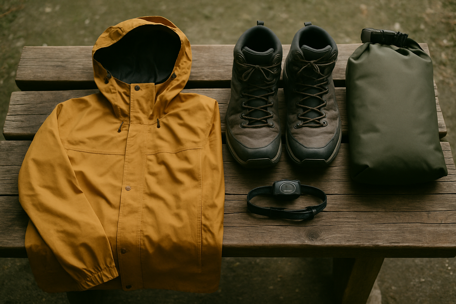
What to pack
Winter driving gear if you're arriving off-season.
Read the packing guide
Where to stay
Choosing a base once you arrive.
Read the lodging guide
3–7 day itineraries
How much time the drive actually costs your trip.
Read the itinerary guide