On the shared territories of the Tla-o-qui-aht and Yuułuʔiłʔatḥ First Nations

Plan the Pacific Rim coast by conditions, not a checklist

The west coast of Vancouver Island changes by the hour: tide, daylight, swell, and season decide what a beach or trail actually offers. Mossfern Gate reads those conditions first, then tells you what to do with them.

Live conditions

The Coast Clock: tide, light, and access

A beach that is a wide, walkable flat at 10am can be a narrow strip pinned against a headland by 4pm. The Coast Clock models how tide height and daylight interact across a full day for a given shore, so you can see the shape of the day before you drive there.

A planning model only. Always confirm with official Fisheries and Oceans Canada tide tables, current Parks Canada bulletins, and conditions on the ground before heading out.

Tide height
1.8 m
Daylight
Full daylight
Beach access
Wide, walkable
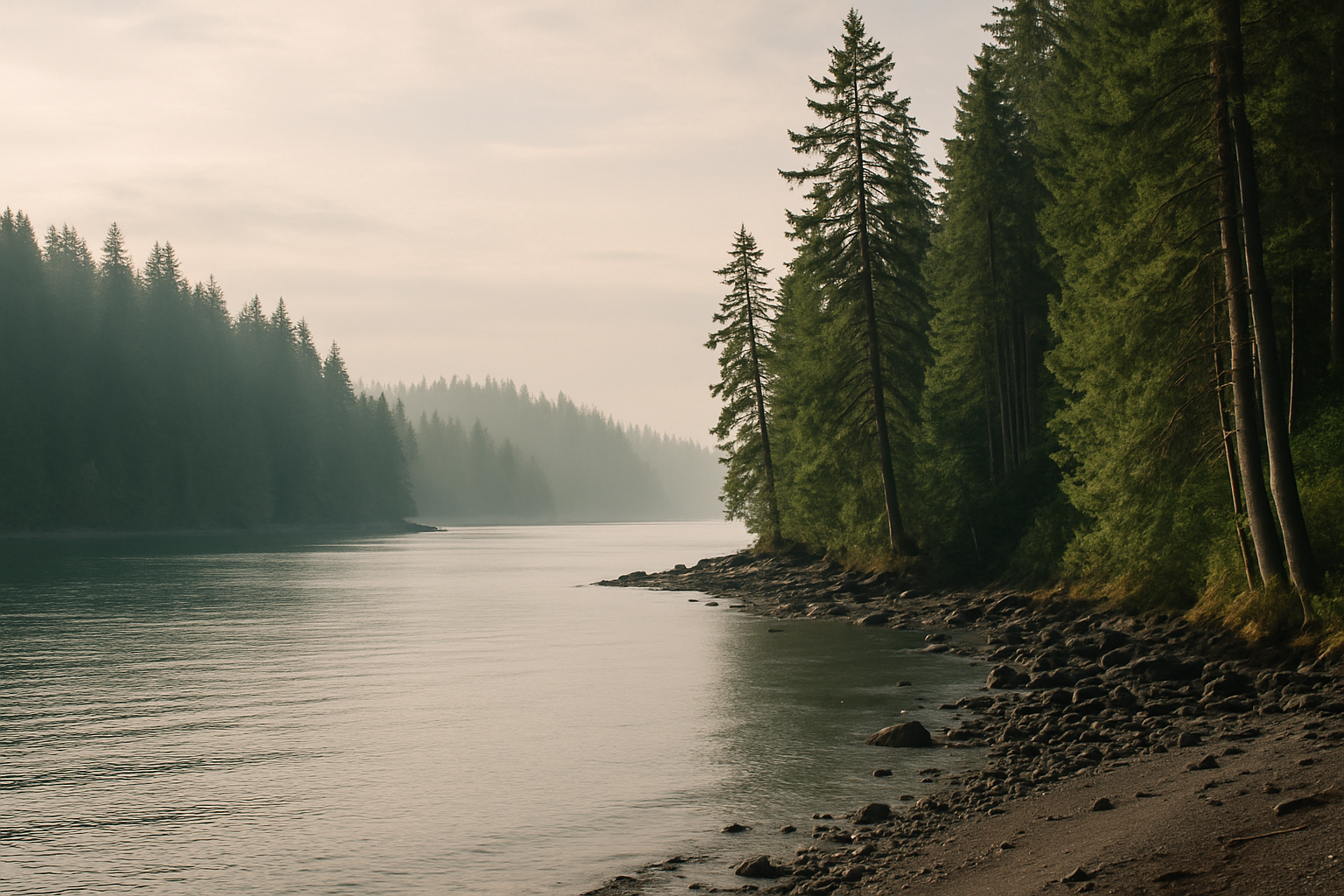
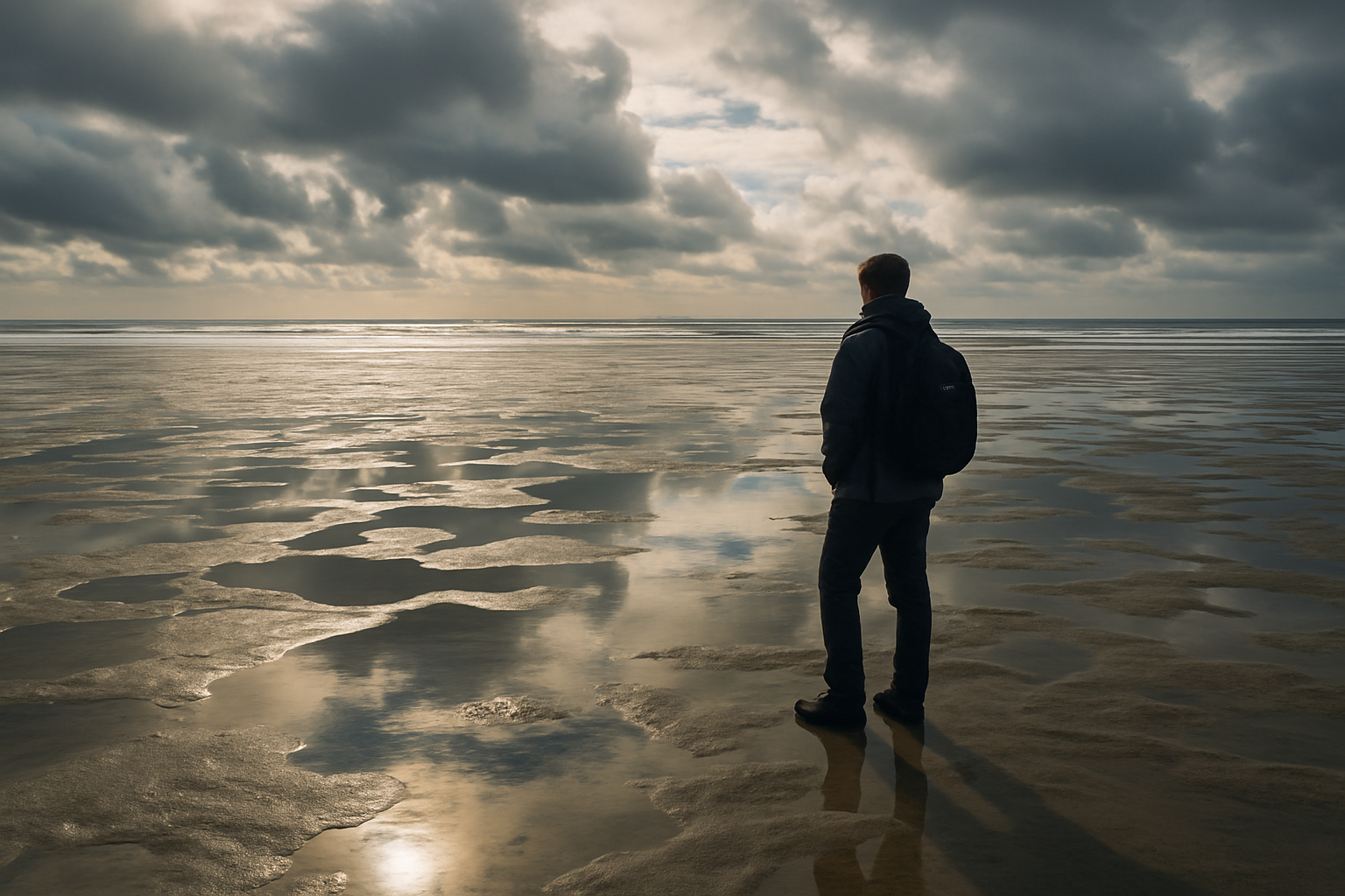
Intertidal shelf at low tide, one person for scale, mid-distance
The same shelf floods completely at high tide. What reads as open ground at 9am can be underwater by early afternoon.

The coast

Three bases, one connected coastline

Ucluelet, Long Beach, and Tofino sit along a single 40 km stretch of Highway 4. Pick a base by the kind of days you want, then group outings by which way the tide and wind are running, not by a fixed itinerary.

Wild Pacific Trail boardwalk through coastal rainforest, Ucluelet

Harbour town, coastal trail

Ucluelet: the quieter southern base

A working harbour town anchoring the Wild Pacific Trail's cliff-edge loops. Ucluelet is 25 minutes closer to the park entrance than Tofino, generally quieter, and a practical base for storm-watching trips or a first night before heading north.

Read the Ucluelet guide
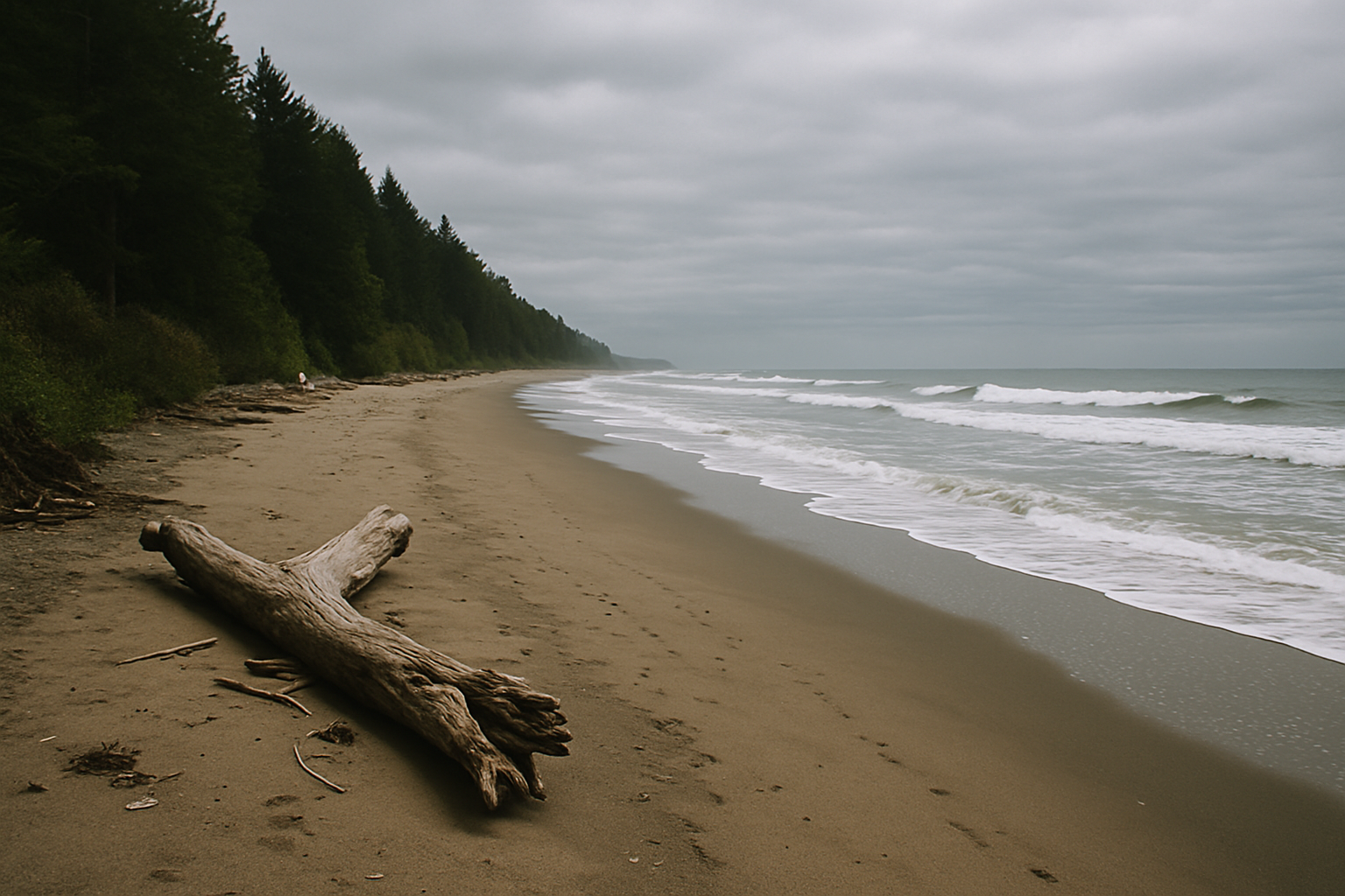
Long Beach shoreline, surf lines breaking, forest edge in distance

Exposed beach, national park

Long Beach: the exposed centre

The park's longest, most exposed stretch of sand, reached from two direct parking-lot access points on Highway 4 — no hike required. Day-use only, with real tide and surf conditions to read before walking its full length.

Read the Long Beach guide
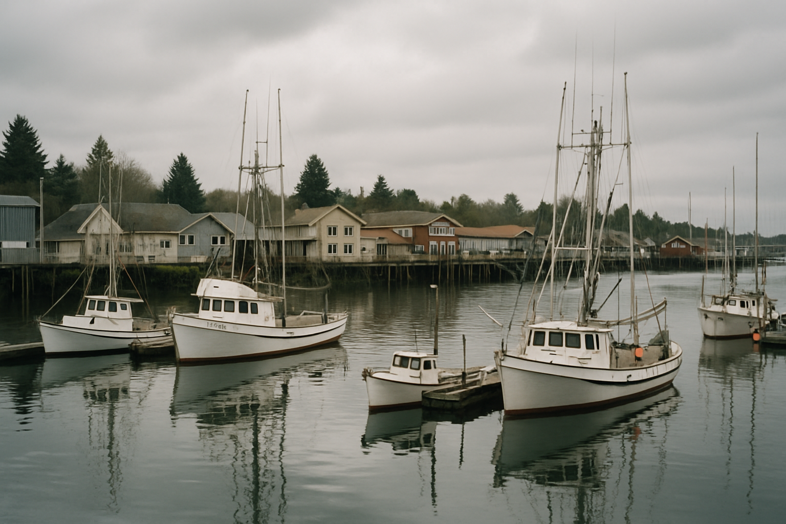
Tofino harbour at low cloud, islands of Clayoquot Sound beyond

Harbour, excursions, surf town

Tofino: the busier northern base

The departure point for whale-watching and Clayoquot Sound excursions, with the widest range of food and lodging — and the most summer traffic. Best for travellers who want boat trips, surf lessons, and restaurants within walking distance.

Read the Tofino guide

Seasons

Three overlapping seasons, not one best time

Storm season, whale migration, and the long-daylight summer months overlap and hand off across the calendar year. Each rewards a different kind of trip and asks for different gear — there is no single correct month to visit.

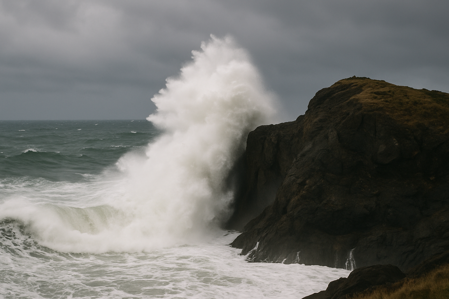
Winter storm swell viewed from a covered, elevated viewpoint

November–February

Storm-watching season

Waves built across the open Pacific can reach 6 metres. Watch from a covered viewpoint or lodge window during an active warning, not from the beach itself — Parks Canada closes lots and shoreline during extreme-wave bulletins.

Storm-watching guide
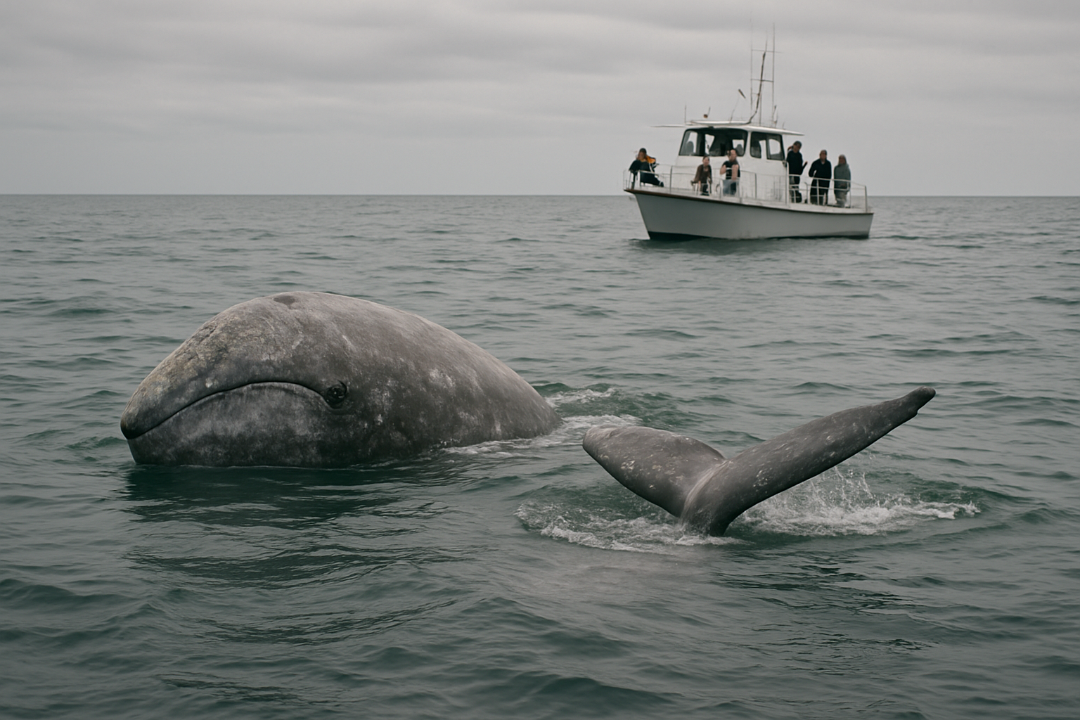
Gray whale surfacing, licensed vessel at respectful distance, open water

March–October

Whale migration & residents

Around 25,000 gray whales pass Clayoquot Sound each spring, peaking in March–April; roughly 200 stay through summer to feed. Humpbacks are most common June–September. Licensed boat trips keep a legal, respectful distance that shore viewing cannot match.

Whale-watching guide
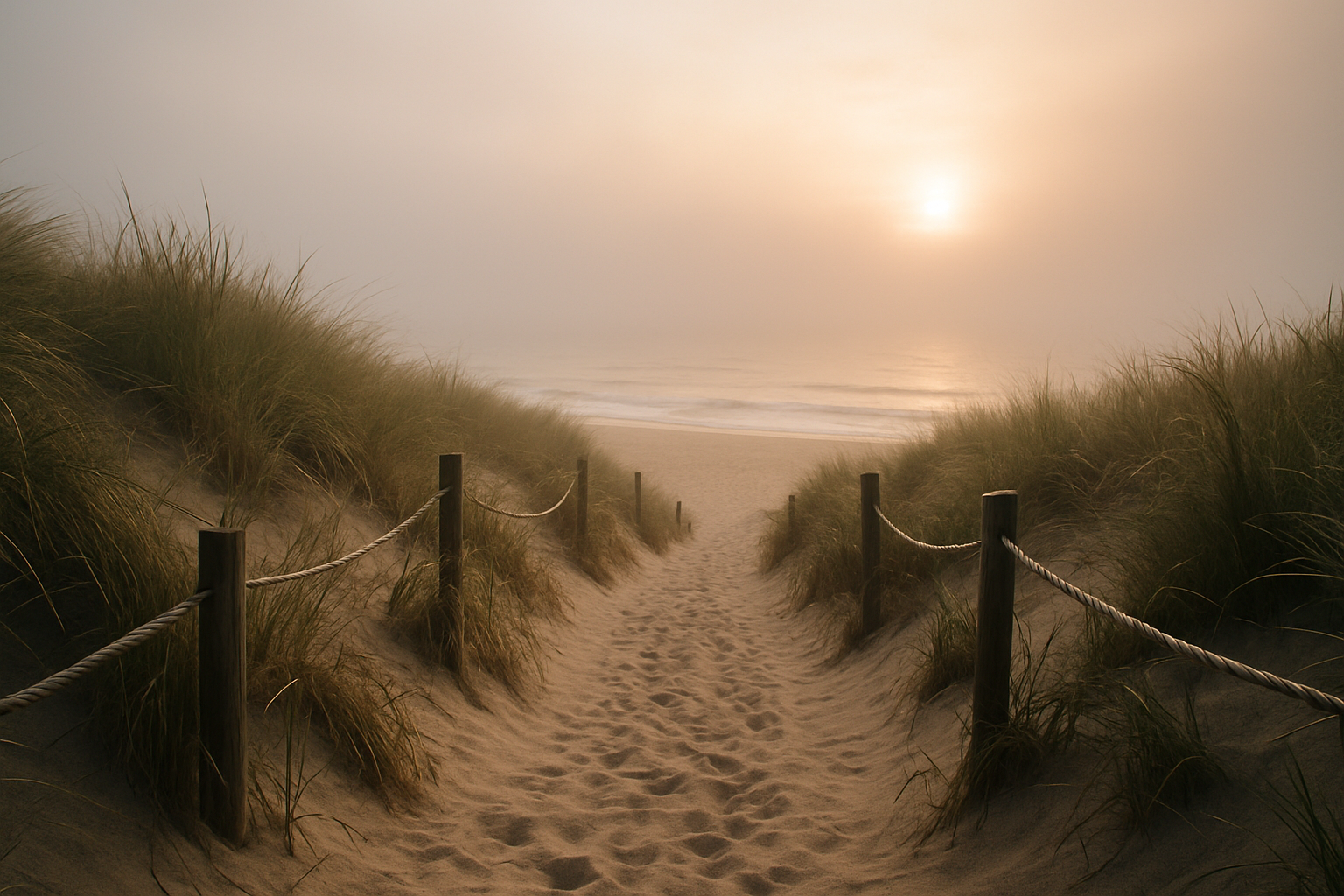
Morning fog lifting over a summer beach access path

June–August

Long daylight, high demand

Reykjavík-length days don't apply here, but Vancouver Island still gets over 16 hours of daylight in June. Morning fog is common; it usually burns off by late morning. Book lodging and popular trailhead parking well ahead — this is peak season.

Summer planning guide
Highway 4 through mountain forest in rain, safe roadside composition

Getting there

Crossing the island: ferry, then Highway 4

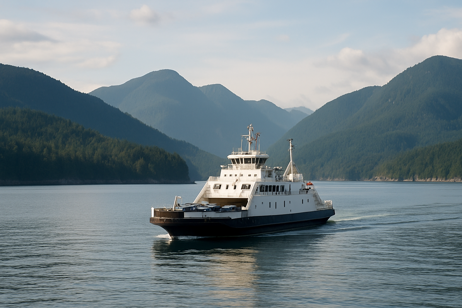
From Vancouver, a BC Ferries crossing to Nanaimo (about 1.5 hours) connects to Highway 19 north, then west on Highway 4 — the Pacific Rim Highway — through Port Alberni. Total drive time including the ferry runs 5–6 hours to Tofino, slightly less to Ucluelet. Fuel up in Port Alberni; services thin out after that, and winter darkness falls well before dinner.

  1. Ferry crossingHorseshoe Bay–Nanaimo or Tsawwassen–Duke Point, roughly 1.5–2 hours; book ahead in summer.
  2. Highway 19 northAbout 43 km to the Highway 4 exit at Parksville; last easy stretch of divided highway.
  3. Highway 4 west156 km of two-lane mountain road via Port Alberni to the Ucluelet/Tofino junction — fuel up first.
Full getting-there guide

Territory

You are a guest in living Nuu-chah-nulth territories

Pacific Rim National Park Reserve sits within the territories of nine Nuu-chah-nulth Nations; the Long Beach Unit specifically within Tla-o-qui-aht and Yuułuʔiłʔatḥ territory. These are living communities, not a historical backdrop — Parks Canada's own management is guided by the Nuu-chah-nulth principles of ʔiisaak (respect) and hišukʔiš c̓awaak (everything is connected). Visitors should expect and support Nation-led signage, place names, and initiatives such as Tla-o-qui-aht Tribal Parks, and treat any cultural sites with the same care asked of any host community.

Read the full guide
Requires community-approved image and caption; do not substitute stock photography
Caption pending Nation review and approval before publication.

Plan ahead

The practical details that matter

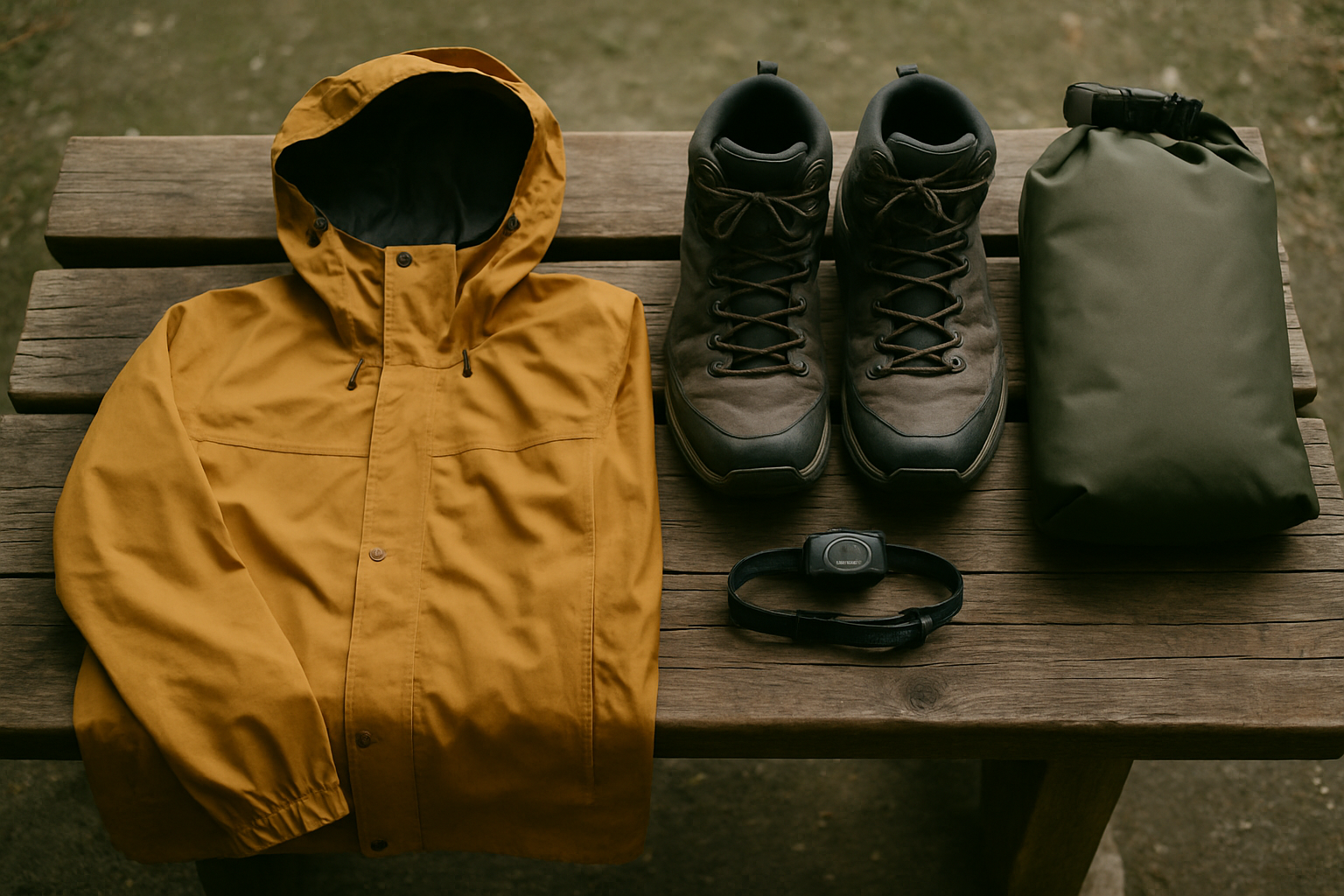
Rain layers, boots, and dry bag on a timber bench

What to pack

Rain gear matters more than sun protection here, even in July. Waterproof layers, grippy footwear for wet boardwalks, and a dry bag for electronics are the real essentials — not a swimsuit.

Full packing list
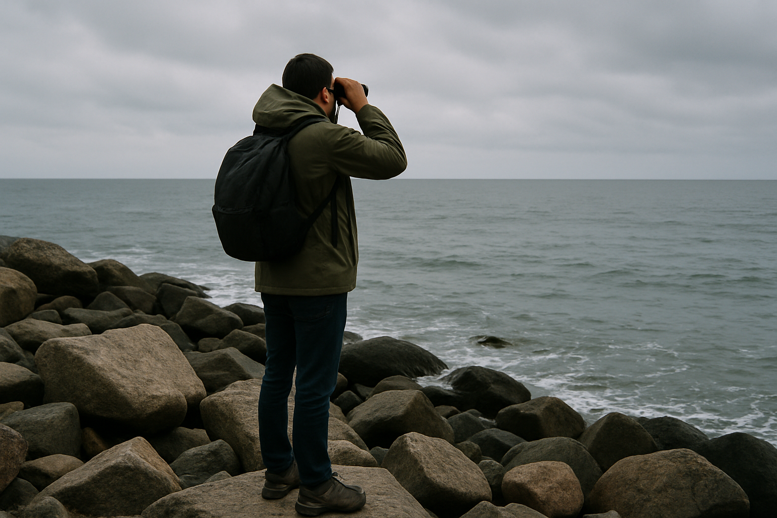
Shore-based whale watchers keeping respectful distance, long lens visible

Wildlife viewing etiquette

Legal viewing distances exist for whales for a reason. The same distance-and-patience rule applies to black bears on beaches and intertidal life at low tide.

Read the etiquette guide
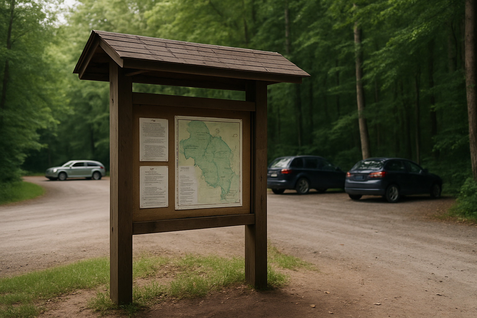
Trailhead notice board with current closures posted, muddy trail beyond

Permits & current notices

A park pass is required for parking anywhere in Pacific Rim National Park Reserve. Check Parks Canada's live bulletins for closures before you drive out.

Passes & closures