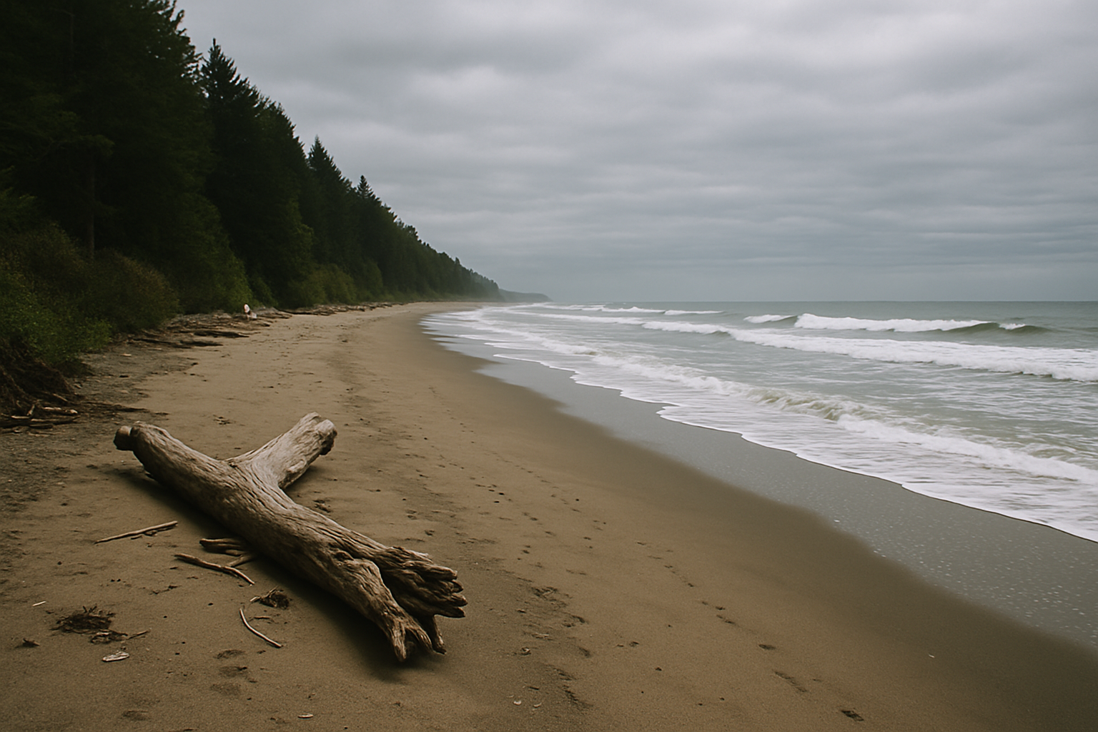
Long Beach Unit, Pacific Rim National Park Reserve — Tla-o-qui-aht and Yuułuʔiłʔatḥ territory
Long Beach: 16 km of exposed sand
Long Beach is the longest, most exposed shoreline in Pacific Rim National Park Reserve — roughly 16 km end to end, though almost no one walks all of it in one visit. This page covers where to get onto the sand, how tide changes what you can actually do, and what to leave alone.
- Landscape
- Open sand beach, dune edge, rainforest border
- Exposure
- Fully open to Pacific swell and wind
- Access
- Direct from parking, no hike required
- Facilities
- Heated washrooms at Incinerator Rock lot
Orientation
Reading the shoreline before you walk it
Long Beach runs roughly 16 km between Box Island and Quisitis Point, the centrepiece of the park's Long Beach Unit. It is broken visually, if not physically, by a scatter of small headlands and creek mouths rather than one uninterrupted stretch. The two direct parking areas — Incinerator Rock and the Long Beach lot itself — sit toward the southern half; Schooner Cove and Combers Beach, further north, offer quieter, less-visited sand reached by short trails through the forest edge rather than a parking-lot walk-on.
Soft upper sand is tiring to walk for long distances; the firmer, faster walking surface is usually right at the waterline, which only exists at certain tide stages. Prevailing wind and swell come from the southwest, so a walk that feels easy heading north can be a slog on the way back. Turn around with energy and daylight to spare, not when you're already tired.
| Condition | What it changes | What to do |
|---|---|---|
| Rising tide | Shrinks the walkable sand and can cut off routes back around small headlands | Favour a forest-edge walk or a different beach that day |
| Larger swell | Pushes surf and driftwood further up the beach, narrowing safe dry ground | Favour a forest-edge walk or a different beach that day |
| Strong onshore wind | Blowing sand reduces visibility and comfort, especially exposed near Incinerator Rock | Favour a forest-edge walk or a different beach that day |
Access
Four access points, four different beaches
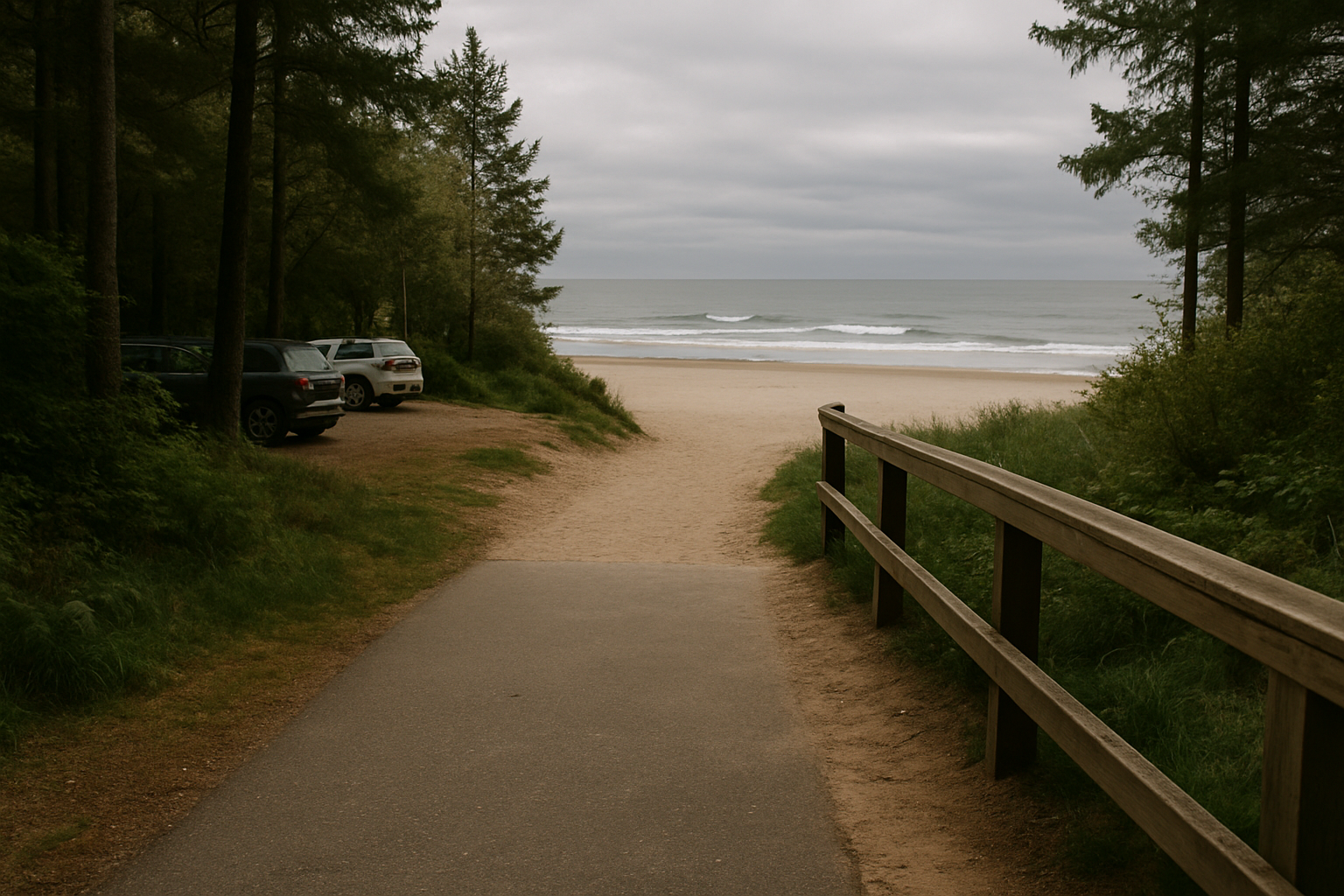
Long Beach is reached from four distinct points along Highway 4, and they are not interchangeable. Parking size, facilities, walking surface, and how busy each gets vary a lot — picking the right one matters more than picking Long Beach itself.
Incinerator Rock
Flat, paved-to-sand path from the largest lot; heated washrooms, outdoor showers, and a water-bottle station. No lockers. Best for a first visit — the easiest, most reliable access point.
Long Beach (main lot)
The original main lot, slightly smaller and busier midday. Direct beach access, no facilities beyond basic washrooms. Good backup when Incinerator Rock's lot is full.
Schooner Cove & Combers Beach
Reached by short forest trails rather than a lot-side walk-on; minimal facilities, noticeably fewer people. Best for those wanting quiet over convenience.
Tide timing
Matching your walk to the tide
At low tide, Long Beach exposes a wide, firm sand flat that makes for the easiest walking and the best access around small headlands. As the tide rises, several creek mouths that cross the beach widen and deepen, and the dry sand strip narrows fast. The Coast Clock above models this shift for planning purposes only — official Fisheries and Oceans Canada tide tables for the Tofino station remain the authoritative source, and conditions can differ from the model during storms or unusual swell.
Sneaker waves can surge far beyond the normal waterline without warning, and driftwood logs afloat in that surge become genuinely dangerous, not just an obstacle. Keep well back from both, especially during or after storms. Water temperature rarely exceeds 14°C even in summer — falling in is a real hazard, not an inconvenience. Always know your route back off the sand before a headland or creek mouth can cut it off.
Check today's Coast Clock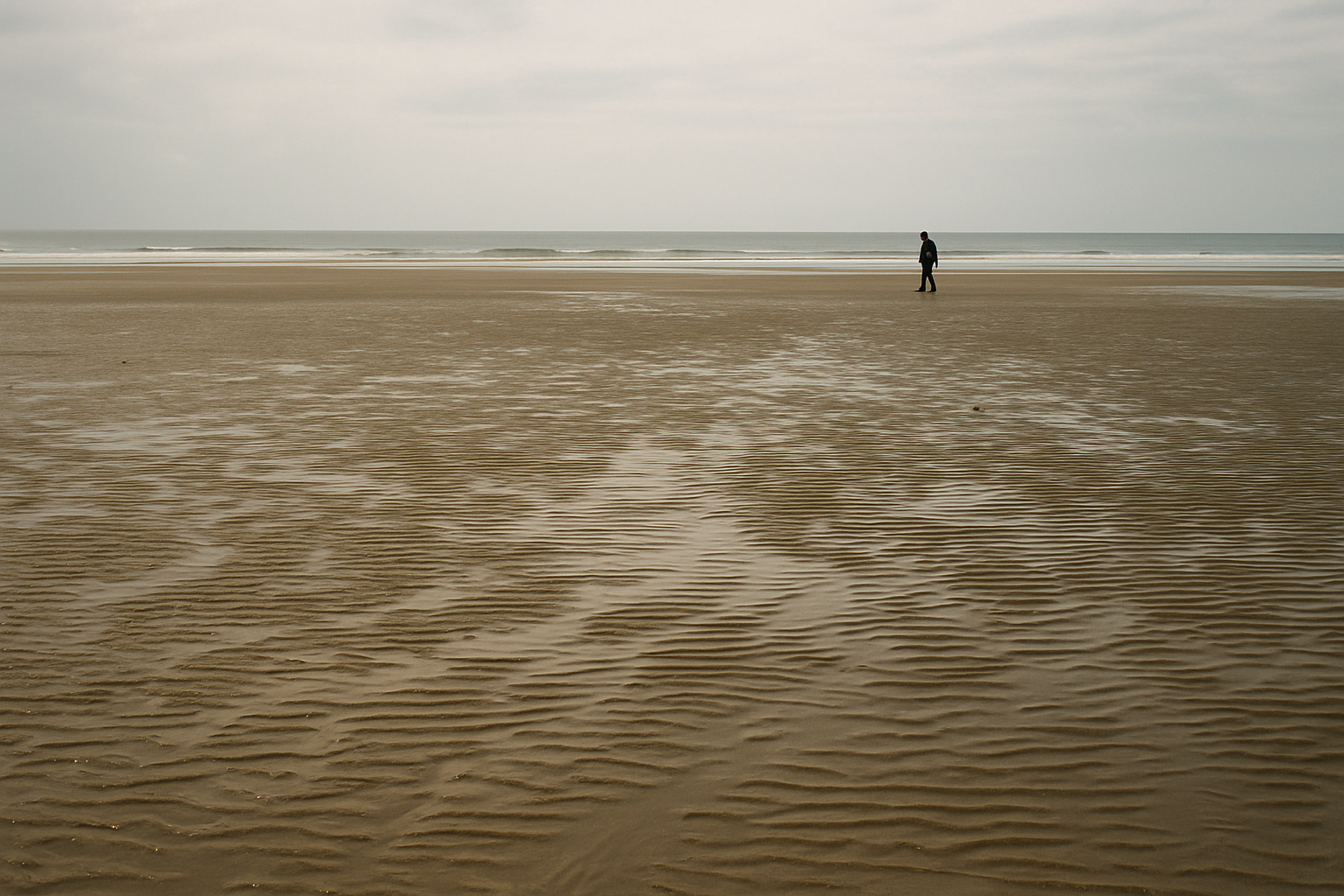
Ecology
From open surf to old-growth forest
Long Beach is a working system, not a static backdrop: wind and swell constantly move sand between the beach and the low dunes behind it, which are held in place by a handful of specialized native plants. Above the current tide line, the wrack — a band of stranded kelp and organic debris — supports an entire food web of invertebrates and shorebirds most visitors walk straight past. Behind the dunes, the beach gives way abruptly to dense temperate rainforest, the same ecosystem you can walk into directly on the Rainforest Trail a short drive north.
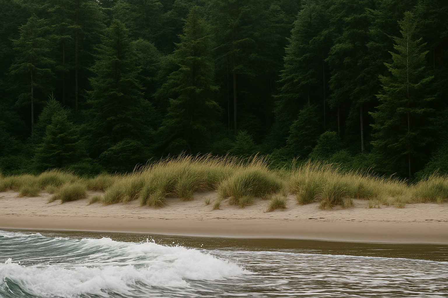
Dune vegetation
Dune plants hold the sand in place with root systems that don't recover quickly from foot traffic. Stay on marked access paths rather than cutting across the dune edge.
The wrack line
That band of stranded kelp isn't litter — it's habitat and a nutrient source for shorebirds and invertebrates. Leaving it undisturbed matters more than it looks like it should.
Shorebirds
Migratory shorebirds feed along the wrack line at specific times of year. Keep dogs leashed and your distance — a flushed flock burns energy it may not be able to spare.
Keep exploring
Related field guides

The Rainforest Trail loops
Two short boardwalk loops through old-growth cedar and hemlock, a 10-minute drive from Long Beach.
Read the trail guide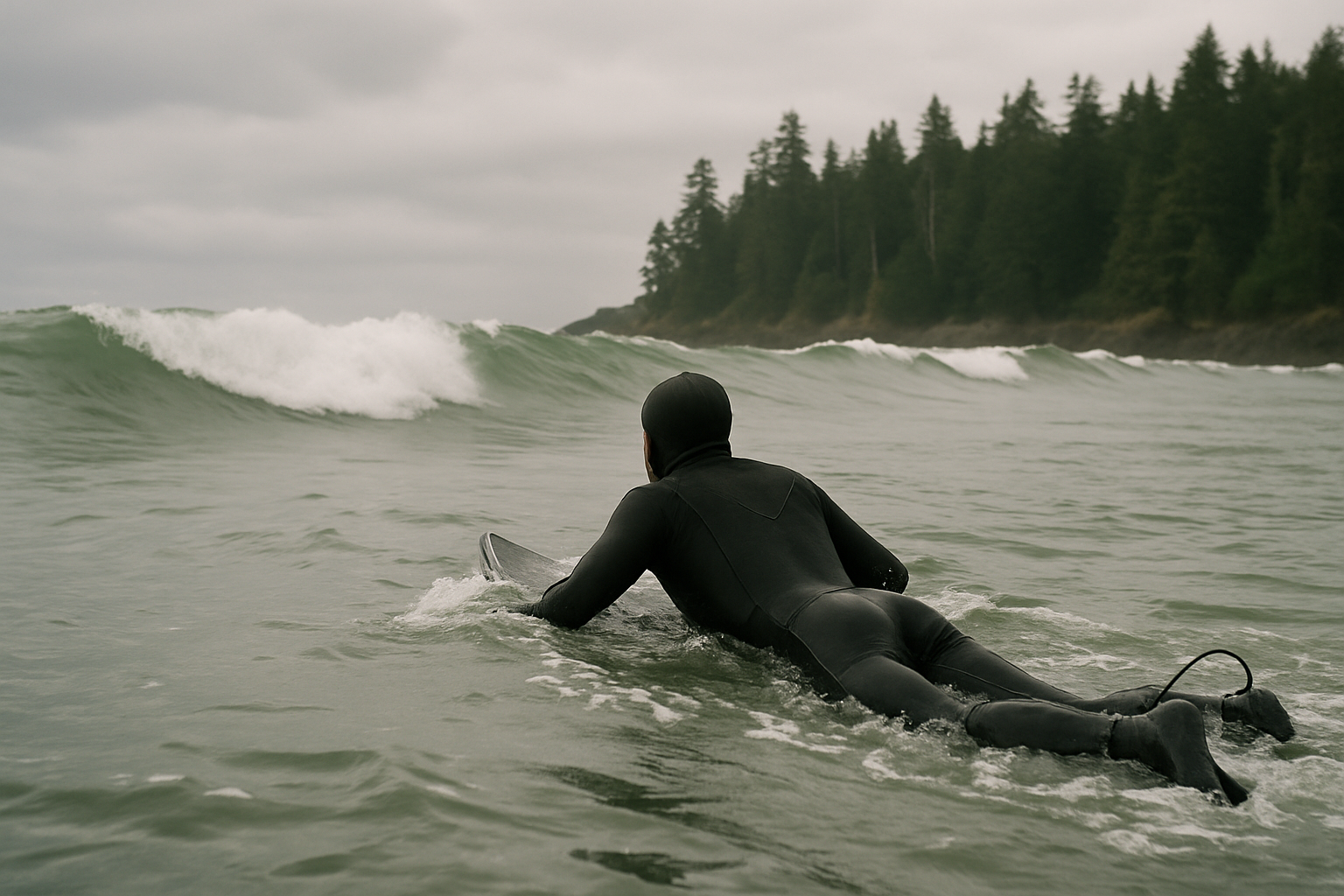
Surfing this coast
Chesterman and Cox Bay handle beginners through advanced surfers — with a wetsuit non-negotiable year-round.
Read the surf guide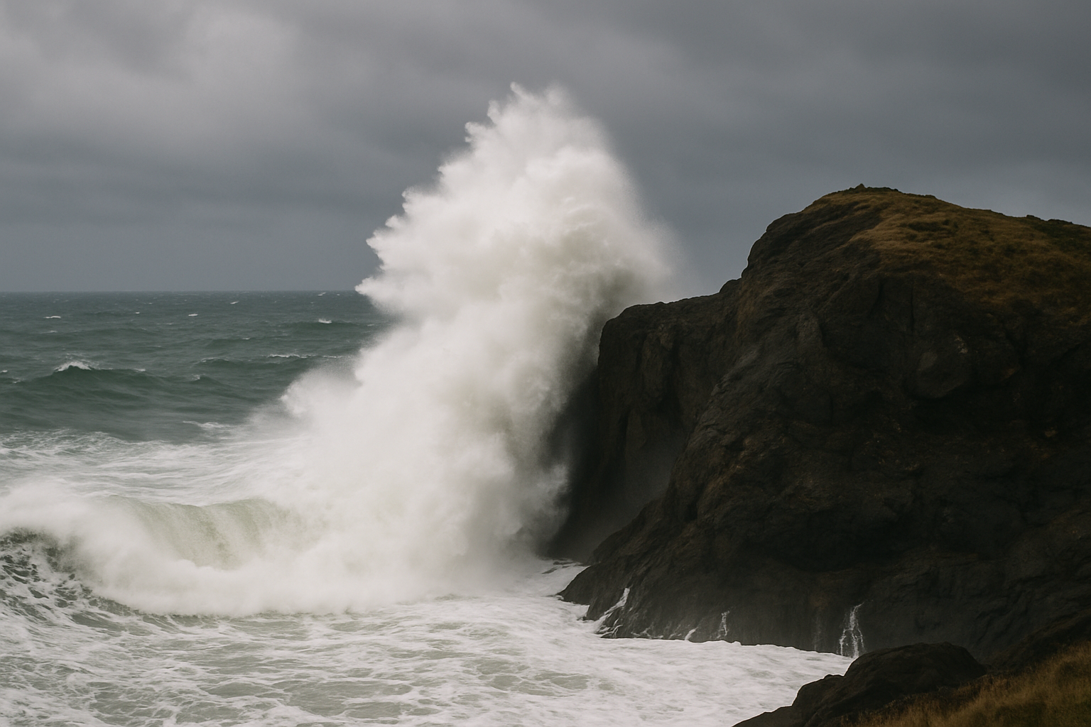
Storm-watching season
November through February brings genuinely dramatic swell — and real closures. Here's how to watch it safely.
Read the storm guide